GPS-Tagged Photos for Better Site Documentation
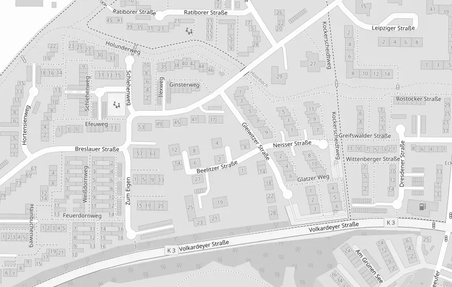
Every photo can automatically include its GPS location. View observations on an interactive map, quickly find where issues were recorded, and optionally include map snapshots in your reports.

Every photo tells the full story
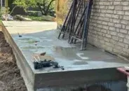
When location access is enabled, Konstro automatically records the GPS coordinates each time you take a photo. No manual location tracking. No additional work. GPS-tagged photos help everyone understand where observations were made — long after the site visit is over. Especially useful for infrastructure projects, civil engineering, road construction, utility work, large commercial sites, and multi-building developments.
Find observations faster
Quickly locate photos and observations — even on large construction sites, infrastructure projects, or linear works.
View everything on a map
Display photos, observations, and deficiencies on an interactive project map to better understand progress across the site.
Add map snapshots to reports
Include a map snippet for each observation or deficiency, making it easier for clients and contractors to understand exactly where something was documented.
FAQ
Frequently asked questions
Is the GPS location always recorded?
No. Location is only recorded if you grant Konstro permission to access your device's location. GPS data is captured only when taking a photo.
Can I include the location in my reports?
Yes. Optionally, Konstro can include a map snapshot alongside each photo or observation in your report.
Can I place photos on a site plan?
Not yet. If this feature would be valuable for your workflow, we'd love to hear from you.
Simplify your
site inspections with Konstro
Capture observations on site and generate professional reports in minutes.